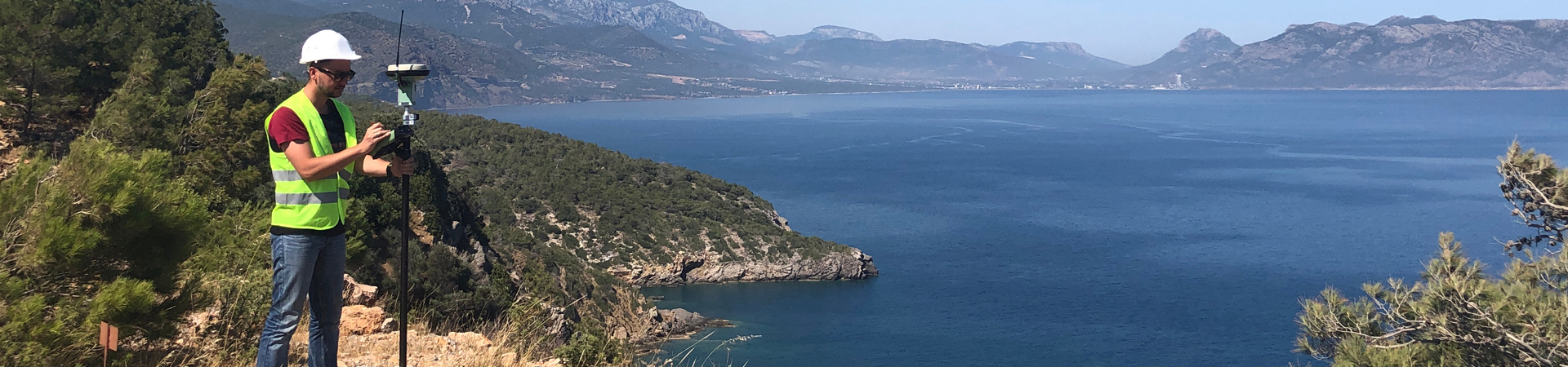
With the growing focus on asset location and precision, TJ Inspection is dedicated to continuously advancing its Mapping division. Our skilled team of technicians and analysts, equipped with state-of-the-art Trimble mapping equipment and software, is dedicated to delivering accurate, relevant, and concise data to our clients in a timely manner. Through the integration of advanced technology, comprehensive training, and rigorous auditing, we ensure all data is accurately captured and verified for our clients’ diverse mapping projects.
AUDITING/VERIFICATION
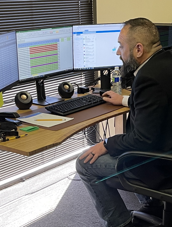
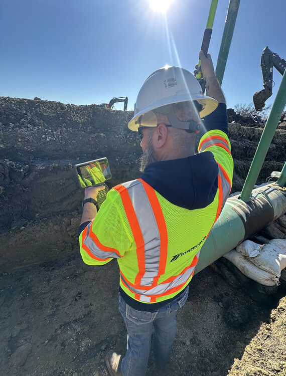
Our team of GIS Analysts performs meticulous quality control audits on all collected features and metadata to ensure the data meets the highest client standards. By working closely with our Real-Time Auditing team and field personnel, our analysts verify documentation through feature attributes, geospatial positioning, and photographic imagery captured in the field.
TRAINING
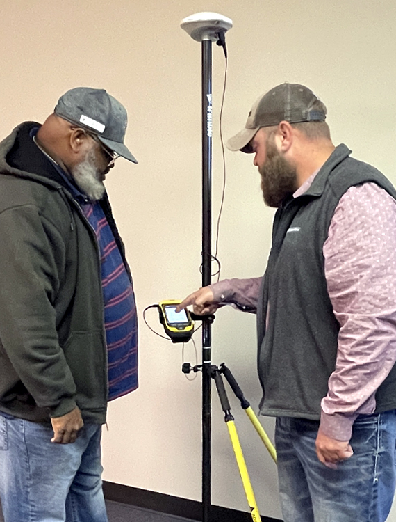
TJ Inspection is dedicated to enhancing the skills and knowledge of its technicians and analysts through on-the-job training and continuous education programs. Developed by our GIS Management team, these initiatives ensure our staff remains knowledgeable, professional, and up-to-date with the latest industry standards and procedures.
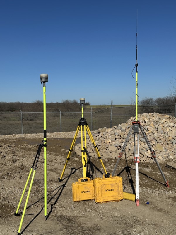
TECHNOLOGY
Our GIS division remains at the forefront of industry advancements, consistently adopting cutting-edge technology to deliver accurate, reliable, and timely data.
Equipment and software utilized include:
R12i: Survey-grade GPS receiver with IMU tilt compensation.
TSC7: Powerful handheld computer for efficient data collection.
SX12: Robotic scanning total station.
Trimble Access with Pipeline Module: Flexible and adaptable field software.
Trimble Business Center Advanced with Scanning Module: Robust office software combining GIS and CAD features.
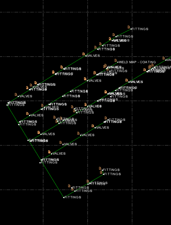
SITE SCAN AND 3D POINT CLOUD
Leveraging the latest advancements in 3D mapping technology, TJ Inspection provides clients with detailed, georeferenced 3D point clouds of existing facilities. These models offer accurate 3D representation along with high-definition panoramic photographs, enabling clients to assess their facilities without the need for time-consuming site visits.